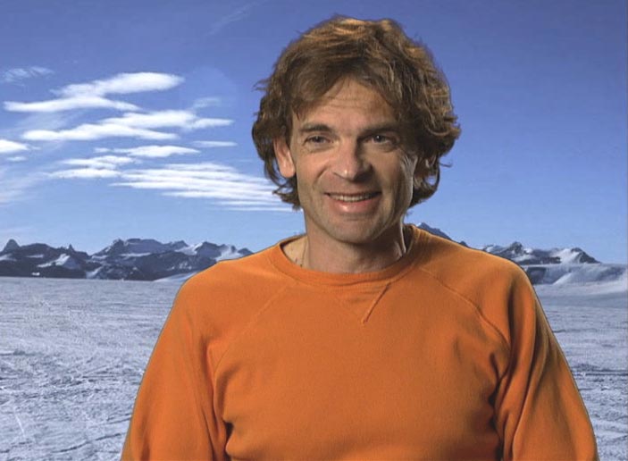
Eric Rignot, Ph.D.
University of California, Irvine
Professor and Chair, Earth System Science
Expertise:
Climate ChangeClimate ChangeGlaciologyGlaciologyRadarRadar
Dr. Rignot works to understand the interactions of ice and climate, in particular to determine how the ice sheets in Antarctica and Greenland will respond to climate change in the coming century and how they will affect global sea level.

He uses satellite remote sensing techniques (imaging radar, laser altimetry, radio echo sounding), airborne geophysical surveys (icebridge), field surveys (radar, GPS, bathymetry, CTD), and numerical modeling (ice sheet motion, ocean circulation near glaciers, coupled ocean/ice sheet models).

In addition, he is an expert in how ice sheets in Antarctica and Greenland will respond to climate change, interactions of ice and climate, global sea level, satellite remote sensing and ocean circulation.
No Pitches / Articles Found
No Quotes
Available for logged-in users onlyLogin HereorRegister